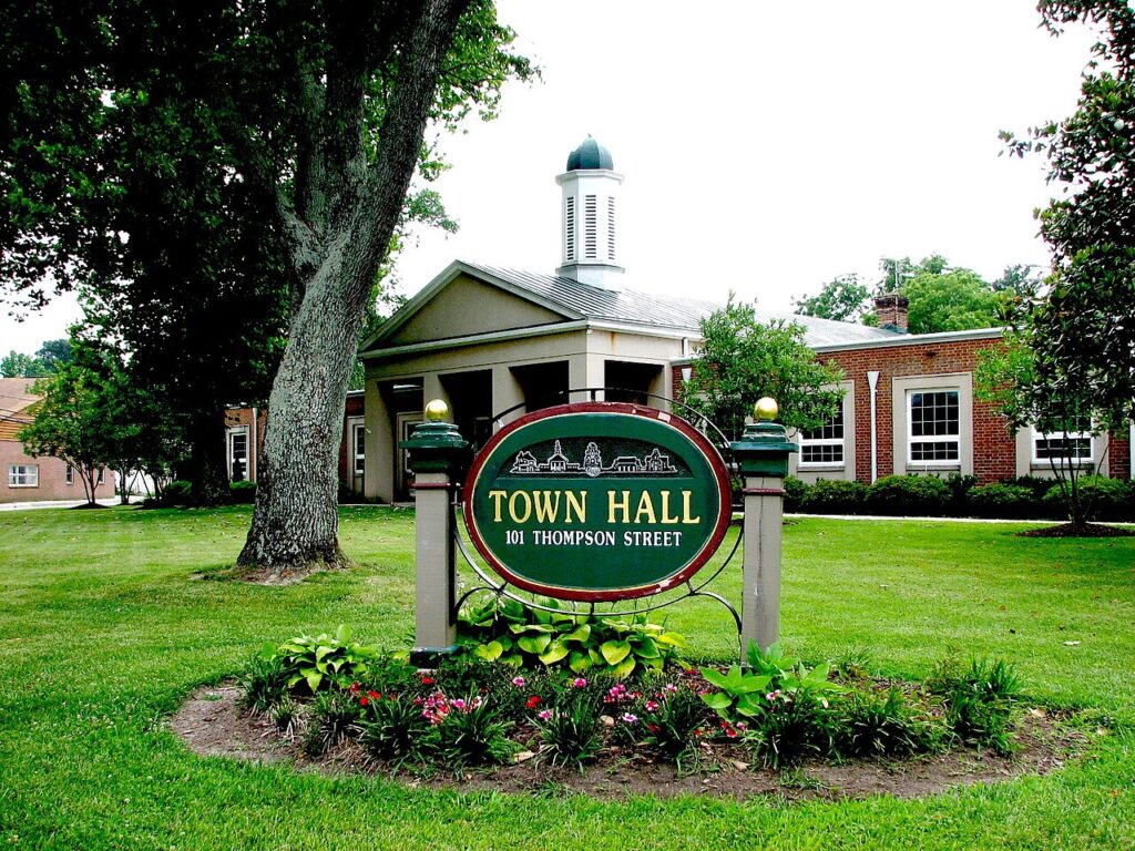
Ashland’s quiet, tree‑lined neighborhoods and surviving rail infrastructure tell the story of a small town shaped by big transportation dreams. Ashland’s streetcar‑suburb past and its historic car barn reflect how electric transit once framed daily life and still influences how the city grows today.
From Railroad Town to Streetcar Era
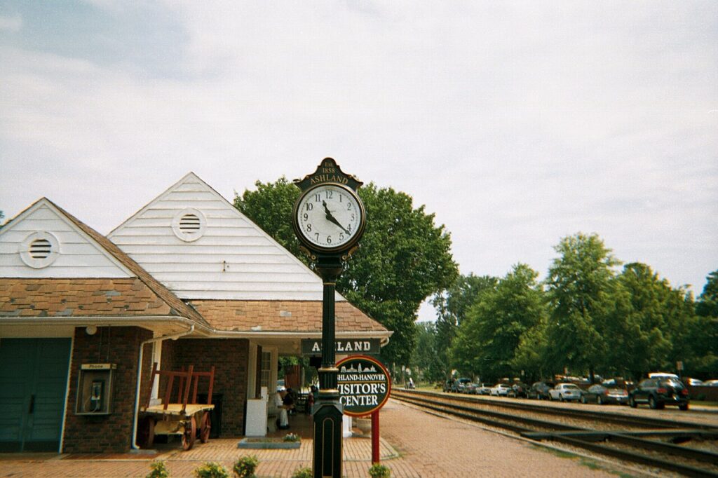
Ashland emerged as a regional hub once the railroad reached town in the late nineteenth century, connecting the community to larger markets and distant cities. Rail brought visitors, new residents, and investment, anchoring hotels, warehouses, and businesses near the depot. As in many American communities, this heavy‑rail spine set the stage for local street and transit improvements that followed. Better streets and new forms of local transportation allowed people to live farther from the depot while staying tied to the rhythms of town life.
During this same period, street railways and electric trolleys were transforming cities and towns across the United States. Planners today often call the communities that grew along these lines “streetcar suburbs.” These were neighborhoods where residents relied on a quick streetcar ride to downtown jobs and shopping, freeing them from the need to live within easy walking distance of work. Oregon communities, from major cities to smaller towns, adopted variations on this model as streetcar lines extended outward from traditional cores.
Ashland as a Streetcar Suburb
Ashland followed this broader pattern on a smaller, more local scale. As the town’s population grew with the railroad and nearby irrigation and park improvements, the city invested in grading and improving streets around the Plaza and surrounding blocks. These upgrades made it easier to link emerging residential pockets with the commercial center.
Families could build homes on newly platted streets and still access downtown shops, schools, churches, and the depot without long, muddy walks. The relationship between transit and land use was direct.
When a streetcar line or well‑traveled route extended outward, homebuilders and small developers felt more confident laying out lots along it. Houses tended to cluster within a short walk of a trolley stop or along a corridor where cars passed regularly. Even in a modestly sized town like Ashland, this created distinct bands of development that lined up with the most convenient routes to downtown, the rail yard, and growing public landscapes like Lithia Park.
In many places, streetcar corridors also drew small commercial nodes—corner stores, service shops, and professional offices that catered to nearby residents and passengers stepping off the cars. Ashland’s evolving pattern of mixed residential and commercial streets echoed this national trend.
The result was a landscape that, while compact, bore hallmarks of a streetcar suburb: walkable blocks, closely spaced houses, and active corridors connecting homes with work, recreation, and travel.
The Role of the Historic Car Barn
At the heart of any streetcar system was the car barn, the utilitarian structure where trolleys were stored, cleaned, and repaired between runs. Across the country, these buildings were often long, rectangular sheds with wide doorways and clear‑span interiors so cars could roll directly in from the street tracks. Inside, rails fanned into multiple bays, providing storage and work space for mechanics and operators.
Although car barns rarely drew as much attention as depots or ornate civic buildings, they were essential pieces of transportation infrastructure. They concentrated the behind‑the‑scenes work that kept cars on schedule: inspections, minor repairs, cleaning, and overnight storage.
In smaller communities, the car barn might also house offices, dispatch functions, or power equipment tied to the electric system that drove the cars. Historic examples show how closely these barns tied into surrounding neighborhoods.
In many cities, car barns sat near modest worker housing, small industrial yards, and service businesses that supported transit operations. The constant movement of cars in and out, combined with the presence of staff, made nearby streets busy and well used.
Over time, these areas often became informal hubs, with corner stores, cafes, and other amenities drawn to the reliable activity generated by the transit yard. Ashland’s historic car barn fit into this same family of structures and functions, scaled to local needs.
Serving the town’s electric street railway, it operated as an operational “garage” for the local system, concentrating the fleet and maintenance in one place. Its relationship to nearby streets, rail lines, and residential blocks—captured within areas such as the Ashland Railroad Addition Historic District—offers modern observers clues about where cars turned, where routes ran, and how the network stitched the community together.
Car Barns, Neighborhood Form, and Change
The working presence of a car barn could subtly shape the form of its surroundings. Streetcar routes radiating from the barn established predictable paths of movement through town, encouraging more intensive activity along those corridors.
Houses and businesses tended to cluster along or near those lines, reinforcing the streetcar‑suburb pattern of walkable streets and compact development. Even when tracks were later pulled up or paved over, the underlying street grid and building patterns often remained, preserving the “ghost” of the former system.
When the era of electric streetcars passed, many car barns did not disappear. Instead, they found new lives as garages, warehouses, light industrial spaces, or offices. Their large, open interiors made them flexible, while their durable construction allowed them to weather decades of changing uses. In some towns, they were eventually recognized as historic resources, tangible reminders of a time when public transit shaped where people lived and how they moved.
Ashland’s historic car barn shares this enduring quality. Whether preserved intact, adapted to new uses, or remembered through traces in the landscape, it helps residents and visitors visualize how the town once operated as a small but genuine streetcar suburb. The building, its site, and its surrounding streets together form an outdoor archive of Ashland’s transit‑driven growth.
Memory, Preservation, and Planning Today
Although the age of electric streetcars ended long ago in most American towns, their physical legacy remains important for communities like Ashland. Historic districts, preservation plans, and local planning documents—including the city’s Comprehensive Plan—often reference transportation and infrastructure when explaining why certain areas matter.
They recognize that the story of a town is not just written in grand facades, but also in working structures and everyday systems. These preservation goals apply as much to the car barn and related infrastructure as to storefronts and houses.
Industrial and infrastructural sites help tell a more complete story about how Ashland functioned in the streetcar era, from early‑morning departures to late‑night returns along the rails. Integrating them into contemporary plans—through adaptive reuse, interpretive signs, or protection of remaining fabric—connects present‑day residents to the systems that once shaped the town’s growth.
Just as important, understanding Ashland’s streetcar‑suburb past offers practical insight for current planning discussions. Historic patterns like compact neighborhoods, walkable blocks, and development aligned with transit corridors mirror many of the qualities cities now seek in sustainable, people‑focused growth.
In this way, the story of Ashland’s historic car barn and its former streetcar landscape is not only a look backward; it is also a resource for thinking about how Ashland can continue to evolve while keeping its character rooted in the places and systems that made it.